CommonGround Project
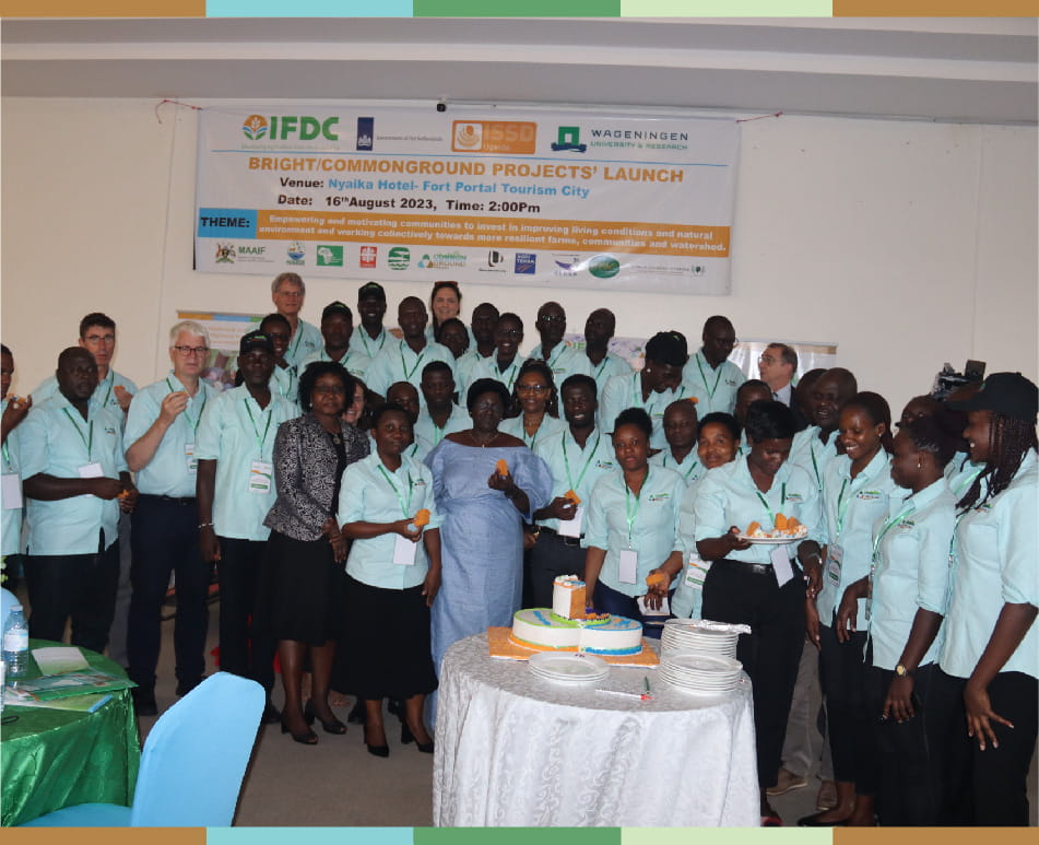
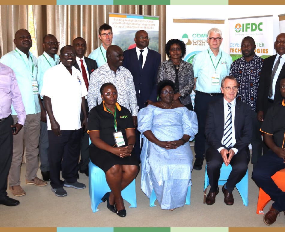
The CommonGround project (CG) is a four-year (2022-2026) Wageningen Environmental Research (WENR) project implemented by Integrated Seed and Sector Development (ISSD) Uganda, with funding from the Embassy of the Kingdom of the Netherlands in Kampala in partnership with other local partners (JESE, AID, Caritas Kabale and A2N Uganda).
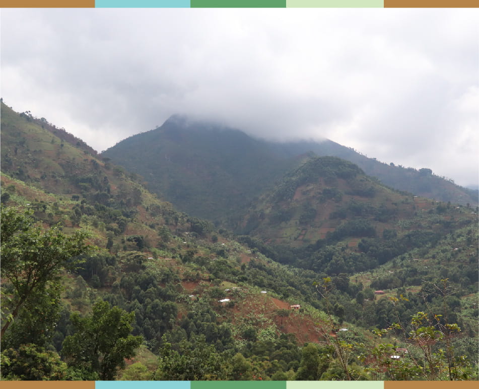
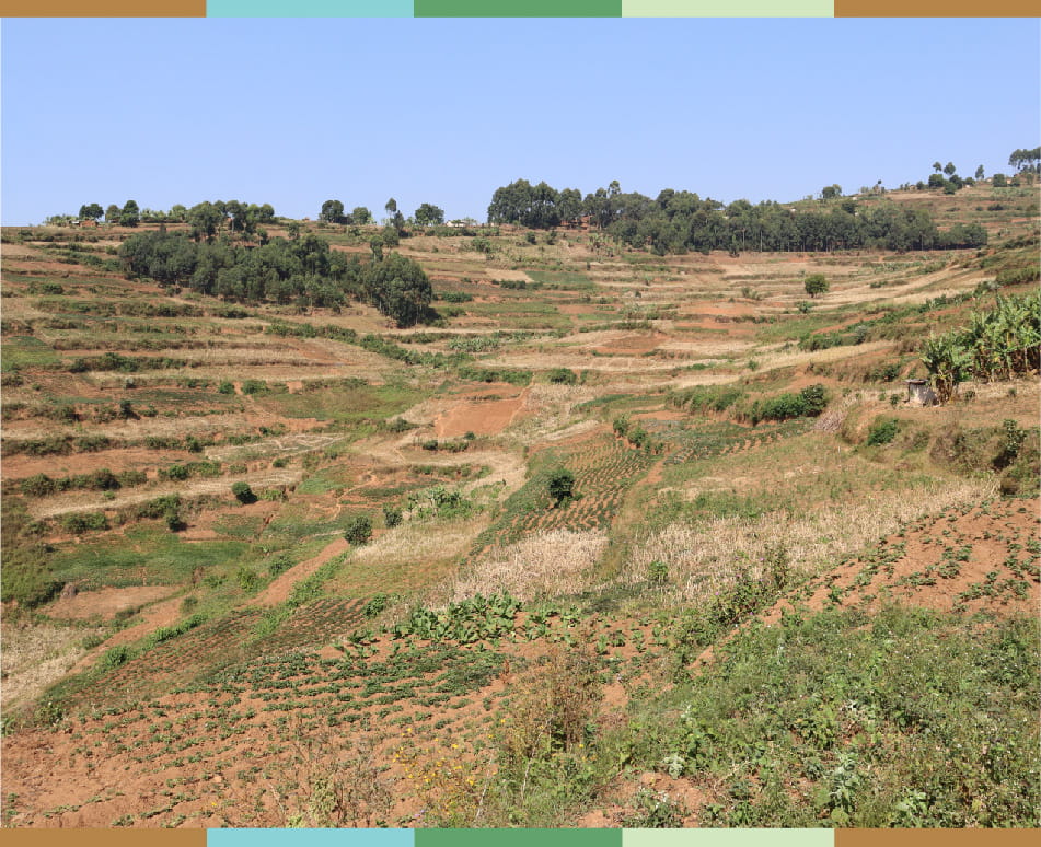
The project is rolled-out in the highlands of Uganda: Rwenzori (Ntoroko and Bunyangabu), Kigezi (Kabale, Rubanda and Kisoro and Elgon (Bududa).
The project’s goal is to build 150, 000 resilient smallholder farmer households in communities and watershed in the highlands of Uganda, based on sustainable farming systems, restored watersheds, and improved marketing opportunities.
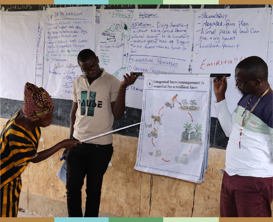
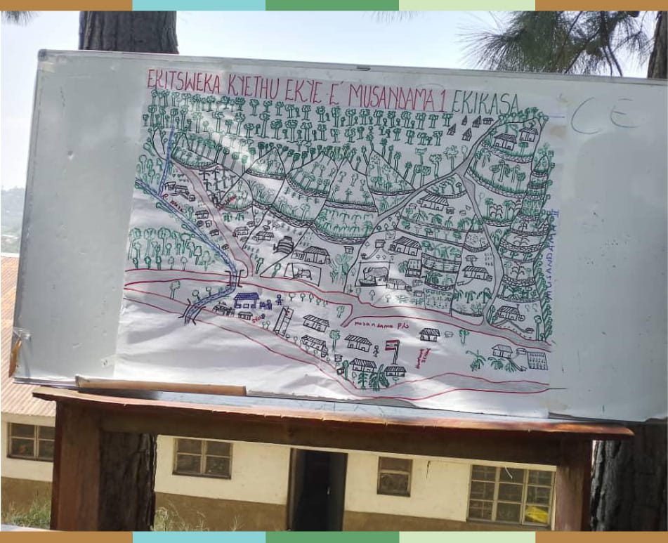
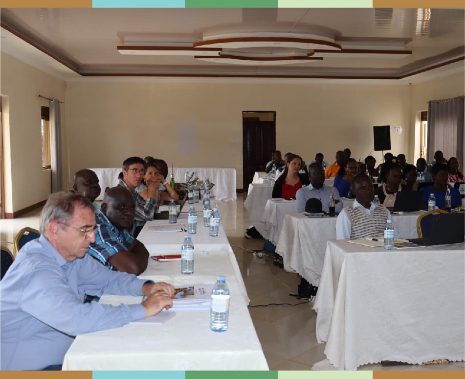
The Participatory Integrated Planning (PIP) Approach is the core strategy of the project, which underlies all activities at the household and community level, while key elements of it are also used during workshops with entrepreneurial groups, government stakeholders and watershed management committees.
PIP aims at building collaboration between farmers, and communities and aims at fostering resilience-based stewardship through an interrelated set of activities.
It is a bottom-up approach which deliberately moves away from traditional top-down interventions approaches. In the PIP-approach, households jointly develop a vision and plans for the future of their farm.
The PIP-approach aims to increase farmers’ motivation, their resilience, and their stewardship. The starting point of the PIP approach is the notion that resilient farming systems, are grounded in a solid foundation of motivated people and healthy land.
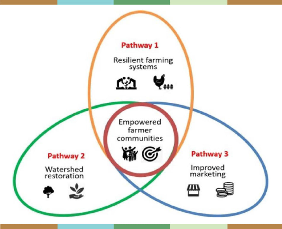
The project is grounded on 3 pathways that are aimed at contributing to improved financial wellbeing and food availability for 150,000 smallholder farmer households.
Pathway 1: The project by means of the Participatory Integrated Planning (PIP) Approach focuses on the empowerment of farmer households to work towards establishing more resilient farming systems.
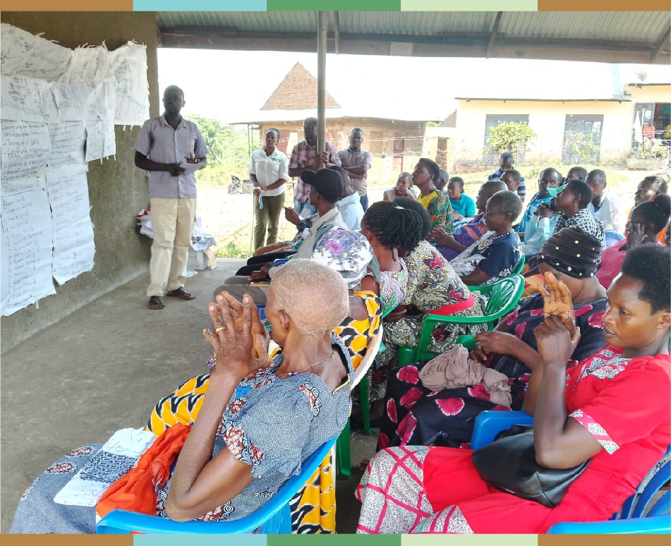
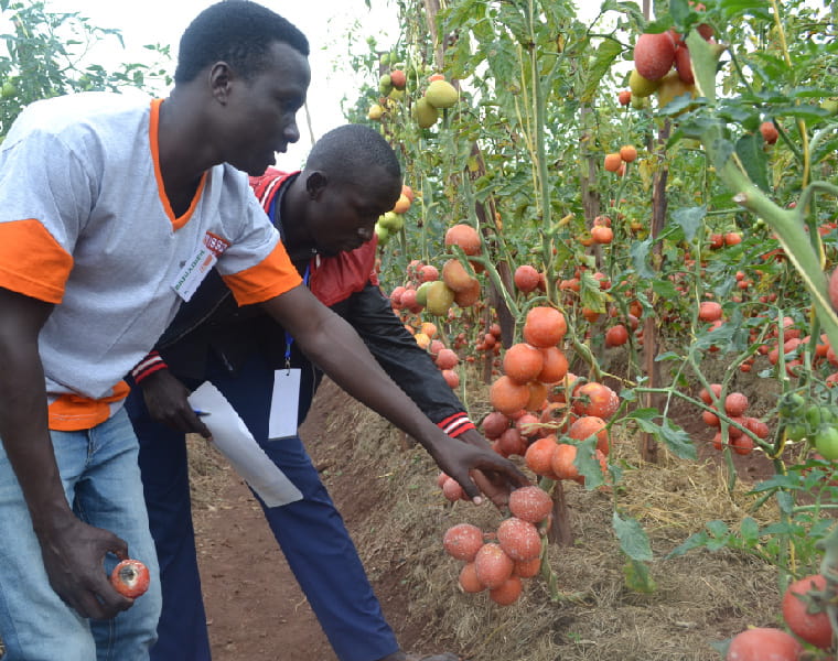
Central in this pathway is the process of gender inclusive PIP-creation (vision building, action planning) at the household level, which is followed by capacity building on integrated land and farm management, based on farmer-to-farmer transfer of knowledge to scale-out.
Pathway 2: The collective action for watershed restoration is key, building on results from Pathway 1 and the empowered communities and (sub-)watershed stakeholders.
Starting in degradation hotspots, the project will work towards restoring the upstream (steepest and most erosion- prone) part of the four watersheds, by means of concrete (sub-)watershed management plans and organised motivated local stakeholders.
From the start, relevant and committed institutions and (local) authorities will be engaged in this process.
Pathway 3: Works on improved marketing opportunities for all farmers engaged in the project and the wider community.
Three interrelated aspects form the basis of this pathway: improving general market access by addressing main bottlenecks, strengthening marketing opportunities of key crop commodities, and support to viable business plans for diverse local initiatives, particularly entrepreneurial groups of women and youth.
The CommonGround Project directly targets smallholder farmer households in selected project highlands regions. And all the households are supported to develop a Vision and Action Plan, to improve sustainable land use on their farm and within the community.
The target groups consist of all the households in the communities wanting to change, be it illiterate subsistence smallholder farmers or bigger commercial farmers. The project aim is to reach all, both as individuals and as groups, with specific attention to the inclusion of youth and women.
Other target groups include the market actors and local government authorities in the selected watershed and sub watersheds (district, subcounty, parish and village levels).
Furthermore, public authorities, such as Government line ministries (MAAIF, MLGSD, Ministry of Water and Environment (MWE), Ministry of Trade, Industries and Cooperatives (MTIC), Ministry of Finance, Planning and Economic Development (MoFPED), Uganda Wildlife Authority (UWA), National Forestry Authority (NFA), National Environment Management Authority (NEMA) among others.
Others include commodity specific agencies such as National Coffee Development Authority (NCDA), National Research Organizations and Universities which are also seen as important stakeholders, particularly when active in the selected watersheds of the project.
The project operates in high value conservation areas lying astride the Uganda-Rwanda Border (south-western highlands), the Uganda-Democratic Republic of Congo Border (western highlands) and then the Uganda-Kenya Border (Eastern highlands.
The conservation areas provide an important water catchment; rivers originating from the areas providing water for domestic supply, hydro power generation and irrigation of farms.
In addition, tourism, timber resources and non-timber forest products generate employment and revenues from these areas.
These highland agroecological zones of Uganda are characterized by high levels of rain received per year (at least 1500mm), inherently fertile soils and predominant smallholder farms.
They have high potential to produce both subsistence and cash crops like bananas (matoke), vegetables, coffee, (climbing) beans, maize, sorghum, potatoes, cocoa, onions, and wheat, some of which have high income generating potential and markets in the region and beyond.


